


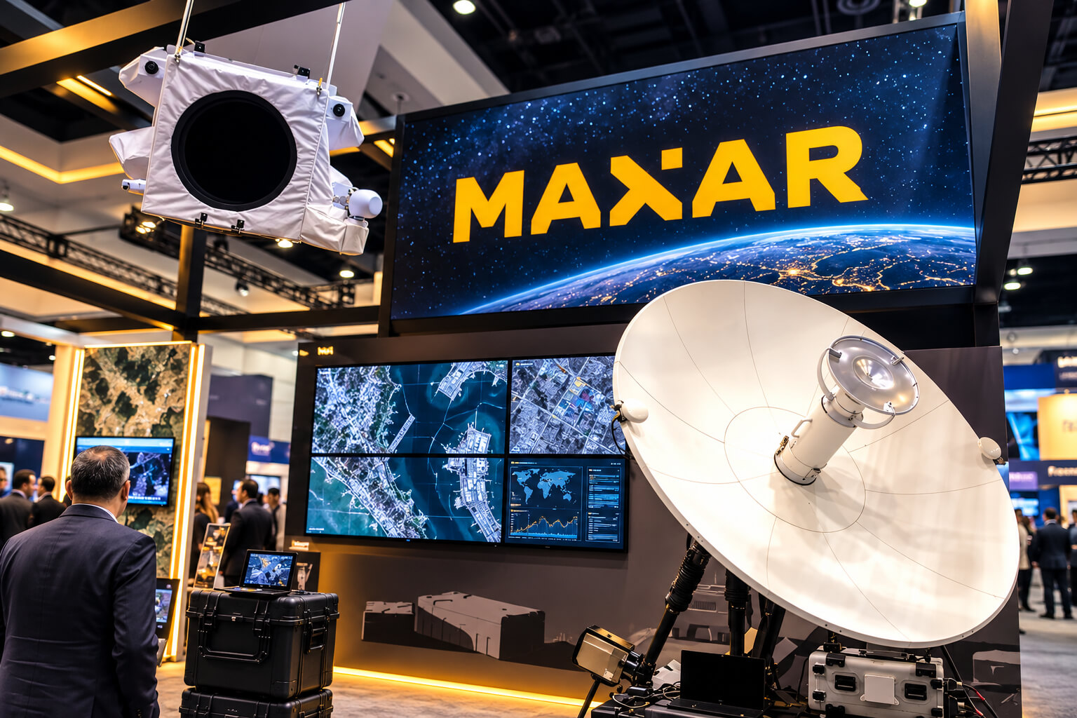
Maxar Technologies, whose former Maxar Intelligence business now operates as Vantor, has been nominated for the 2026 World AI Awards in the Aerospace category, recognising work that combines Earth observation, artificial intelligence, 3D mapping and autonomous systems.
The company has moved well beyond the familiar model of taking satellite images and delivering them to customers. Vantor now builds software that can fuse information collected from satellites, drones and ground sensors, then use AI-powered analysis to turn that stream of pixels into something immediately useful.
That shift matters. Aerospace produces enormous amounts of imagery and sensor data. Collecting it is only half the problem. The harder question is how to process different sources quickly enough for a person — or an autonomous machine — to understand what is happening on the ground.
The World AI Awards recognises organisations, individuals, products and technologies contributing to the development and real-world application of artificial intelligence across industries.
Tensorglobe turns scattered sensor data into a living picture of Earth
At the centre of Vantor’s current AI strategy is Tensorglobe, an AI-powered spatial intelligence platform introduced when Maxar Intelligence became Vantor in October 2025.
The idea is straightforward, even if the engineering is not. Satellites, drones and ground systems can all observe the same physical environment, but their data often sits in separate systems. Tensorglobe is designed to bring those feeds together and anchor them to a common spatial foundation.
Three technologies sit underneath the platform.
Cortex automates satellite-constellation orchestration. Forge handles real-time sensor fusion and uses AI-powered production software to generate 2D and 3D mapping. Nexus provides secure hosting, analytics and access to that combined intelligence.
Vantor says the resulting system can create an AI-ready digital representation of Earth and extract coordinates with one-metre accuracy.
This is not simply a laboratory project. According to Vantor, technology behind Tensorglobe supports U.S. government programmes including One World Terrain, which supplies high-fidelity 3D representations of real terrain for U.S. Army training, simulation and mission planning. Its software also supports geospatial intelligence services reaching more than 400,000 U.S. government users.
AI watches for change instead of waiting for an analyst to find it
Satellite imagery becomes particularly valuable when something changes.
Vantor built Sentry around that problem.
Rather than asking analysts to manually compare huge volumes of imagery, Sentry combines automated satellite collection with AI-driven data fusion and analysis. The system is designed to monitor hundreds of locations and identify activity or physical changes that could require attention.
That could mean new construction, movement around a strategically important location or another change that would otherwise require people to search through repeated satellite collections.
The company says similar automated tasking, data-fusion and AI-analysis workflows support persistent monitoring initiatives including the U.S. government’s Luno programme.
There is a practical advantage here: AI is being used less as a chatbot and more as a filter for an enormous stream of visual information.
Raptor gives autonomous drones another option when GPS disappears
Perhaps the more unusual application sits closer to the ground.
Originally launched by Maxar Intelligence in 2025, Raptor is vision-based navigation software designed to help autonomous drones operate when GPS or other satellite-navigation signals are unavailable.
Instead of relying solely on GPS, Raptor compares imagery from a drone’s existing camera with Vantor’s global 3D terrain data. The software can use that comparison to determine the aircraft’s position and extract ground coordinates in real time.
No specialised imaging payload is required. Vantor designed the system to work with the platform’s native camera.
That gives the technology potential relevance well beyond conventional satellite intelligence. GPS disruption can affect defence operations, disaster response and autonomous commercial systems. A machine that can recognise where it is by looking at the terrain has another source of positioning information when satellite navigation cannot be trusted or accessed.
Vantor reported when Raptor launched that its underlying 3D dataset covered more than 90 million square kilometres. The company now says its 3D mapping exceeds 100 million square kilometres globally.
The satellite image is becoming an input, not the final product
That may be the biggest change in the Maxar-to-Vantor story.
The company still operates an advanced commercial Earth-imaging constellation and sells high-resolution imagery. But imagery increasingly feeds a larger software system.
Vantor says its constellation can collect roughly seven million square kilometres of high-resolution imagery each day, while its spatial foundation supports products used across government, defence and commercial markets. The company also says more than one billion people use navigation applications powered by its mapping foundation.
AI changes what can happen after those images arrive.
Instead of delivering another picture for someone to inspect, software can fuse it with other sensors, compare it against previous observations, build updated 3D representations and flag changes that deserve attention.
That is a very different proposition from simply putting another camera in orbit.
Graham Cooke, President of the World AI Awards, said:
“Maxar Technologies’ nomination highlights how artificial intelligence is changing what organisations can do with information collected from space.
“The evolution of Maxar Intelligence into Vantor shows an interesting shift from delivering satellite imagery toward creating spatial intelligence that machines and people can use more directly. From AI-powered sensor fusion and persistent monitoring to navigation for autonomous systems in GPS-denied environments, this work points to new ways of understanding and operating in the physical world. We congratulate the team on its 2026 World AI Awards nomination.”
Maxar Technologies joins organisations, researchers, entrepreneurs and technology developers being recognised through the 2026 World AI Awards.
The programme recognises organisations, individuals and technologies contributing to the development and application of artificial intelligence across industries.
The company’s evolution into Vantor also captures something happening more broadly across aerospace. Satellites are collecting more data, sensors are appearing across more platforms, and autonomous machines need increasingly accurate information about the environments around them.
The bottleneck is no longer simply getting the image.
It is making sense of it quickly enough to matter.
Learn more about Vantor, formerly Maxar Intelligence, and its spatial intelligence technology at vantor.com.
Discover the World AI Awards 2026, explore the nominees and learn more about the awards at worldawards.ai.
