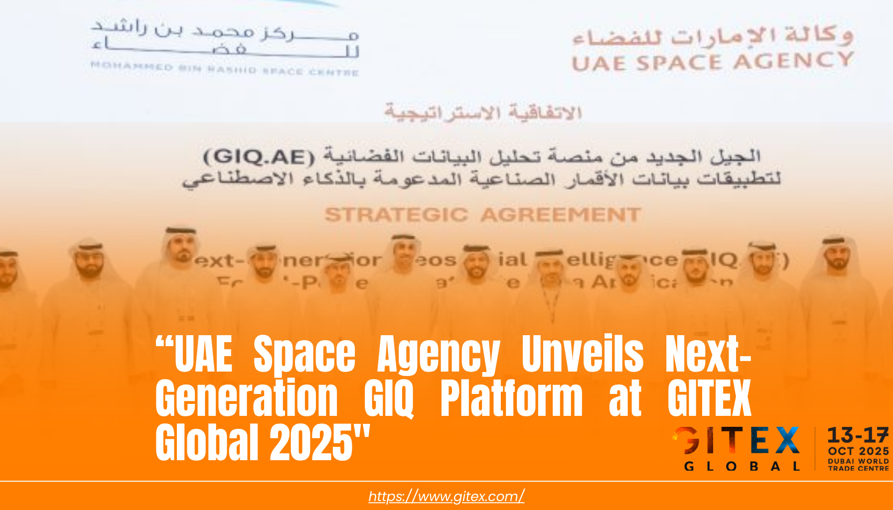
Dubai, United Arab Emirates — The UAE Space Agency, in collaboration with Space42, has unveiled the next generation of the GIQ (Geospatial Intelligence Quotient) platform at GITEX Global 2025, setting a new global benchmark for AI-powered satellite data access, analysis, and innovation enablement.
This launch represents a transformative leap in the UAE’s commitment to open space intelligence, sustainable innovation, and data sovereignty, aligning with the nation’s “We the UAE 2031” vision to make the UAE a global leader in advanced science, technology, and the digital economy.
The upgraded GIQ 2.0 platform brings together cutting-edge artificial intelligence, Earth observation analytics, and multi-satellite integration to simplify and democratize how organizations, researchers, and innovators access and utilize space-derived data.
“The UAE is shaping a global model for space accessibility — where data, innovation, and sustainability converge,” said Dr. Ahmad Belhoul Al Falasi, Minister of Education and Chairman of the UAE Space Agency.
“The next generation of GIQ embodies our mission to build an ecosystem that accelerates innovation, enhances climate resilience, and creates value from space intelligence.”
🌍 A Unified Platform for Geospatial Intelligence
GIQ 2.0 has been re-engineered to act as a comprehensive one-stop hub for satellite data acquisition, AI processing, and visualization, connecting government entities, private companies, and academic institutions through a single digital gateway.
🔹 Key Features
- Smart Satellite Request Interface — Intuitive dashboards for on-demand satellite imagery access, simplifying complex acquisition workflows.
- AI-Powered Image Analysis — Automated classification, anomaly detection, and change tracking using advanced machine learning models.
- Integrated Multi-Satellite Access — Unified data streams from over 10 international and regional satellites, including Airbus, Maxar, BlackSky, ESA’s Sentinel, NASA’s Landsat, and the Mohammed Bin Rashid Space Centre (MBRSC).
- Scalable Cloud Infrastructure — Cloud-native design ensures high-speed data retrieval, processing, and secure collaboration across organizations.
- Open Data & Developer Ecosystem — API access for startups, developers, and researchers to build customized space-tech applications.
The platform also introduces a dynamic satellite request engine, enabling users to define parameters such as coverage area, temporal frequency, and spectral resolution — with results delivered through an intelligent recommendation engine optimized by AI.
🛰️ A Strategic Partnership with MBRSC and Space42
The UAE Space Agency’s collaboration with Space42 and the Mohammed Bin Rashid Space Centre marks a powerful integration of national capabilities in space technology and AI.
- MBRSC’s satellite imagery is now embedded within the GIQ ecosystem, ensuring high-resolution, locally sourced data for precision analytics.
- Space42, as a strategic technology partner, contributes its AI analytics suite, enabling automated object detection, agricultural monitoring, and infrastructure mapping.
- Together, these collaborations strengthen the UAE’s sovereign digital space infrastructure, enhancing resilience, independence, and innovation leadership in the space economy.
“Our goal is to make satellite data as accessible as a smartphone app,” said Salem Butti Al Qubaisi, Director-General of the UAE Space Agency.
“By removing technical barriers and integrating AI, we empower innovators, researchers, and decision-makers to create real-world impact using space intelligence.”
🌐 Empowering Government, Industry, and Startups
The GIQ 2.0 platform is designed to support multi-sectoral digital transformation, turning satellite data into actionable intelligence across industries:
| Sector | Applications |
|---|---|
| Government & Urban Development | Real-time land use monitoring, smart infrastructure planning, disaster response management. |
| Agriculture & Environment | Crop health analysis, soil monitoring, water resource optimization, and climate resilience modeling. |
| Energy & Logistics | Asset tracking, environmental compliance, and route optimization. |
| Academia & Research | Access to open satellite data archives and analytics for innovation and academic collaboration. |
| Startups & AI Developers | Sandbox environment for building geospatial AI models, with access to APIs and data-as-a-service modules. |
Through these applications, the platform transforms space data into an enabler for national competitiveness, environmental sustainability, and economic diversification.
💫 From Observation to Intelligence: The AI Edge
The new GIQ platform uses a multi-layered AI framework that merges computer vision, deep learning, and data fusion to deliver advanced insights such as:
- Change detection algorithms for environmental impact tracking.
- AI-based object classification for infrastructure mapping and urban analysis.
- Predictive modeling for early warning in agriculture, climate, and logistics.
- Semantic segmentation for high-precision interpretation of complex terrain data.
These capabilities transform GIQ from a passive imagery repository into an active intelligence system — enabling users to visualize, interpret, and act on satellite data in real time.
“We’re evolving from space observation to space intelligence,” said Hasan Al Hosani, CEO of Space42’s Smart Solutions Division.
“The future belongs to nations that can translate data into action — and the UAE is leading that charge.”
🌏 Sustainability & Global Collaboration
Aligned with the UAE’s Net Zero 2050 Strategy and COP28 commitments, GIQ 2.0 plays a critical role in supporting climate monitoring, environmental governance, and disaster resilience.
The platform also facilitates international partnerships with organizations such as the United Nations Office for Outer Space Affairs (UNOOSA) and regional space agencies — enabling the UAE to serve as a hub for sustainable geospatial innovation.
“Sustainability begins with awareness, and awareness begins with data,” said Dr. Al Falasi.
“With GIQ, we’re giving the world the tools to see, understand, and protect our planet more intelligently.”
📊 Performance Goals & Economic Impact
The UAE Space Agency has set ambitious targets for GIQ 2.0:
- 50% growth in satellite imagery utilization within two years.
- 80% satisfaction rate in user experience and data accessibility.
- Expansion of partnerships with regional governments and private enterprises.
The platform also supports the creation of a regional space economy, encouraging startups, researchers, and public institutions to collaborate in AI and data-driven innovation.
📅 Next Steps & Access Roadmap
- Phase 1 (2025–2026): Free access for UAE’s Space Analytics & Solutions (SAS) Program participants, alongside pilot users in academia and public agencies.
- Phase 2 (2026–2027): Commercial rollout to private sector, with tiered data access and AI service modules.
- Phase 3 (2027 onward): Expansion into GCC and international partnerships under the UAE’s Space Data Exchange Initiative.
The UAE Space Agency will continue to enhance GIQ’s capabilities, adding real-time Earth observation analytics, multi-sensor data fusion, and cloud-based AI model training for advanced geospatial applications.
🛰️ About the GIQ Platform
Originally launched in 2022, GIQ (Geospatial Intelligence Quotient) was conceived as part of the UAE’s Digital Space Infrastructure Strategy, providing a scalable platform for integrating satellite intelligence with terrestrial data.
The new GIQ 2.0 elevates that mission with full-stack AI capabilities, cloud scalability, and a data marketplace for global access.
Media Contact
UAE Space Agency – Communications Department
🌐 Website: www.spaceagency.gov.ae
Space42 – Public Relations Office
🌐 Website: www.space42.ai
Sources
- Al Bawaba, “UAE Space Agency Launches Next Generation GIQ Platform at GITEX Global 2025.”
https://www.albawaba.com/business/pr/uae-space-agency-launches-next-1614600 - UAE Space Agency Official Portal – www.spaceagency.gov.ae
- GITEX Global 2025 – www.gitex.com
- UAE Vision 2031 – https://u.ae