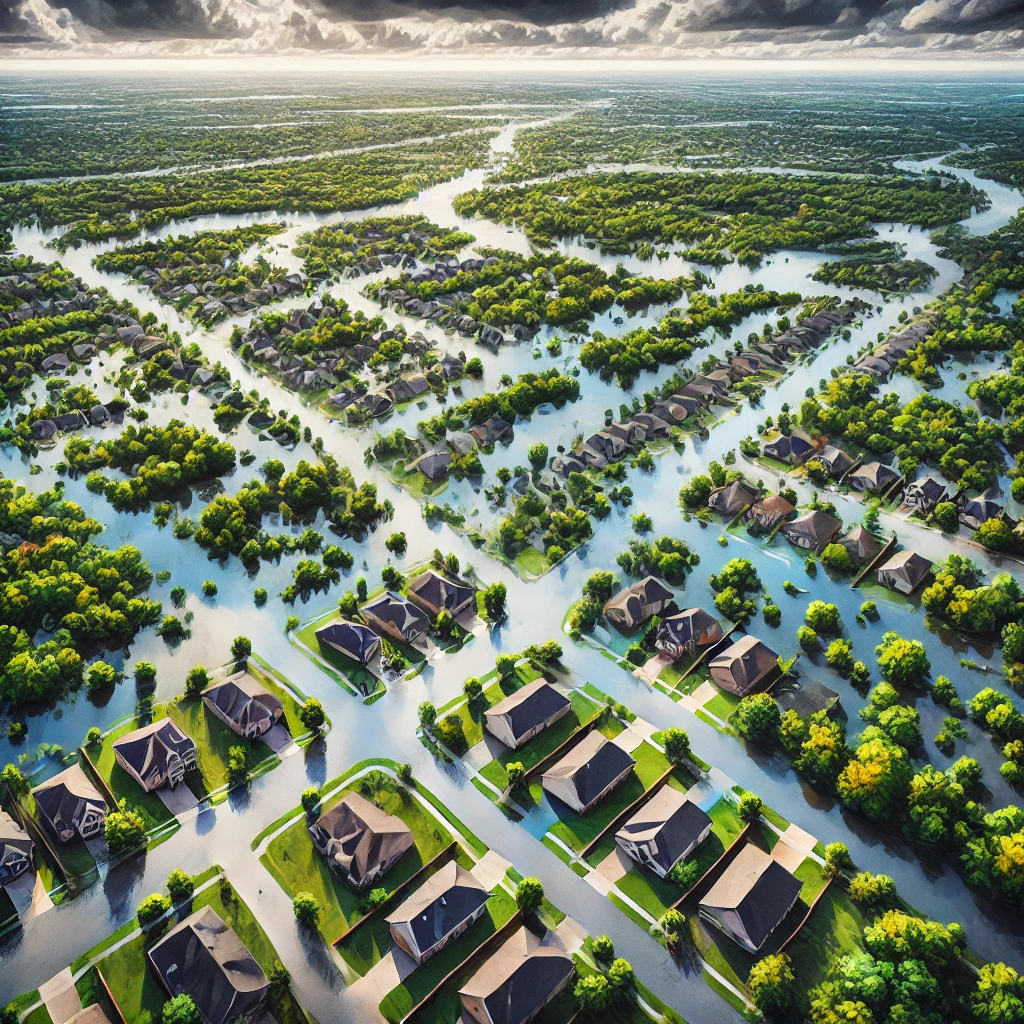
Researchers have unveiled a groundbreaking AI tool that generates photorealistic satellite images to visualize the impacts of potential future flooding. By integrating advanced machine learning algorithms with flood modeling, this innovative technology offers a lifeline for communities preparing for severe weather events like hurricanes and storms.
Traditional methods of disaster preparedness often rely on maps and data that can be difficult for non-experts to interpret. This new tool transforms that data into vivid satellite imagery, showing realistic depictions of neighborhoods, streets, and homes under threat from storm surges and flooding. Such visual clarity helps residents better understand the risks to their properties, empowering them to make informed decisions about evacuation or other safety measures.
The AI leverages generative adversarial networks (GANs) to create these images, ensuring they are both accurate and visually convincing. Researchers also integrate physics-based flood models to ensure the projections align with real-world dynamics, such as water levels, terrain features, and weather conditions.
The Promise for Disaster Preparedness
This technology is more than a scientific advancement—it’s a potential game-changer for disaster response. Emergency planners and residents alike can use the tool to simulate various scenarios, planning for worst-case outcomes and minimizing casualties. By visualizing what could happen before it does, communities have a better chance of safeguarding lives and reducing damage.
For governments and non-profits focused on climate resilience, this tool represents an opportunity to enhance communication and coordination. Early testing has shown that visual aids like these foster greater trust in predictions, helping officials convey the seriousness of impending disasters.
Challenges and Future Development
Although still in its research phase, the tool faces challenges in scaling to global use. Factors like access to high-quality data, computational costs, and the complexity of tailoring models to specific regions will need to be addressed. However, researchers remain optimistic about integrating the system into broader disaster management frameworks.
The long-term vision is to extend the technology beyond flooding, applying it to other climate-related hazards such as wildfires, droughts, and landslides. As climate change continues to increase the frequency and severity of extreme weather events, tools like this will play a vital role in safeguarding vulnerable populations.


