
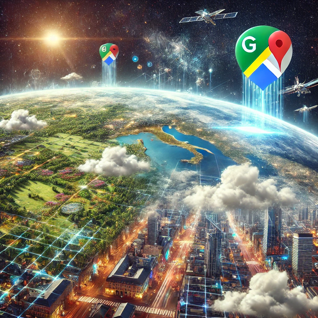
Google Maps has long been a staple for navigation and exploration, but now it’s even more powerful thanks to recent advancements in artificial intelligence (AI). In an exciting update, Google Maps can now use AI to “zap” clouds and haze from satellite images, delivering clearer and more accurate visuals. Alongside this upgrade, more than 80 countries will see refreshed Street View imagery, offering users a better experience of the world from the comfort of their devices.
AI Enhancements: Removing Clouds and Haze for Better Satellite Imagery
One of the most groundbreaking aspects of this update is how AI is being used to enhance the quality of satellite images. Traditionally, Google Maps relies on satellite imagery for a bird’s-eye view of cities, landmarks, and landscapes. However, these images can often be obscured by natural weather conditions such as clouds, haze, or shadows. This makes it challenging to present a consistently clear view of the Earth’s surface.
Enter AI: Google Maps now incorporates machine learning models that can remove these visual obstructions from satellite images. The AI system effectively ‘cleans up’ the imagery by identifying and zapping clouds and haze, leaving behind a clearer and more detailed view of the terrain below. This breakthrough is especially useful for regions where persistent cloud cover or pollution hampers clear satellite views.
For users, the result is improved visual clarity when exploring regions on Google Maps, making it easier to observe land features, urban development, and even geographic changes. Whether you’re zooming in on rural landscapes or crowded city centers, this AI-driven enhancement ensures that Google Maps displays accurate and high-quality images, even in regions that frequently experience cloudy or hazy conditions.
Updated Street View Imagery for 80+ Countries
Along with AI-driven satellite image enhancements, Google Maps is rolling out updated Street View imagery across more than 80 countries. Street View, a popular feature that lets users virtually ‘walk’ through streets and neighborhoods, has been a favorite for exploring distant locations or even planning trips. These updates will refresh visuals in many parts of the world, allowing users to see the latest road conditions, infrastructure developments, and natural landscapes.
In some countries, the updated imagery will not only refresh existing routes but expand coverage into previously unavailable areas, offering a richer experience to users. This is particularly beneficial for regions undergoing rapid urban development, as well as those with remote areas that are becoming more accessible via Street View for the first time.
This update also means that businesses and local governments can leverage more accurate and up-to-date visuals in their planning processes. For travelers, it’s a more accurate way to explore a destination before setting foot there.
Why This Matters
The integration of AI to clear clouds and haze in satellite images is another example of how machine learning is reshaping everyday tools. Google Maps is used by over a billion people globally, and this AI enhancement brings a level of clarity that was previously unattainable due to natural environmental barriers. From a technical perspective, it highlights how Google continues to push the boundaries of AI application, particularly in large-scale data processing.
Moreover, the updated Street View imagery can assist in everything from trip planning to academic research, especially in areas undergoing rapid transformation. Real estate professionals, urban planners, and governments will also find these updates invaluable in keeping up with new developments.
Looking Ahead
Google’s recent updates to its mapping service reflect a larger trend of improving digital mapping tools with AI. As AI continues to evolve, it’s likely we’ll see even more enhancements that make maps more interactive, accurate, and accessible to users across the globe.
For now, the combination of clearer satellite imagery and expanded Street View coverage marks a significant leap forward for the platform. With AI now part of the process, Google Maps is better equipped than ever to provide a seamless experience, regardless of where users are looking. Whether you’re virtually exploring a distant city, planning a road trip, or checking out your own neighborhood, Google Maps is more powerful—and clear—than ever before.